

Hartland Natural Resource Inventory
In 2007, the Farmington River Watershed Association prepared a natural resource inventory for the Town of Hartland. The text of this report is available here. For current natural resource maps of our region, please visit the HVA/Greenprints Interactive Map.
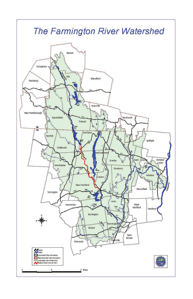
Watersheds
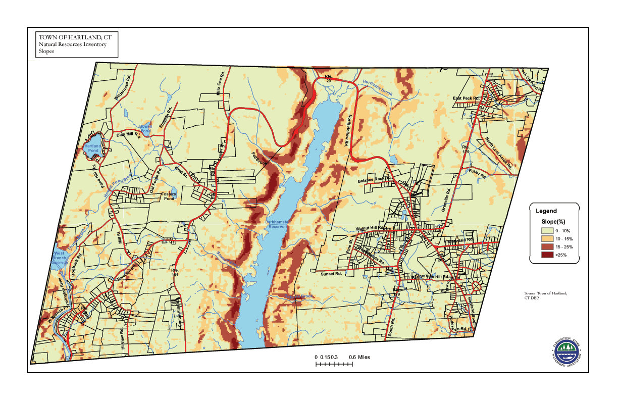
Slopes
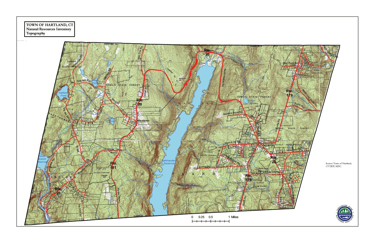
Topography
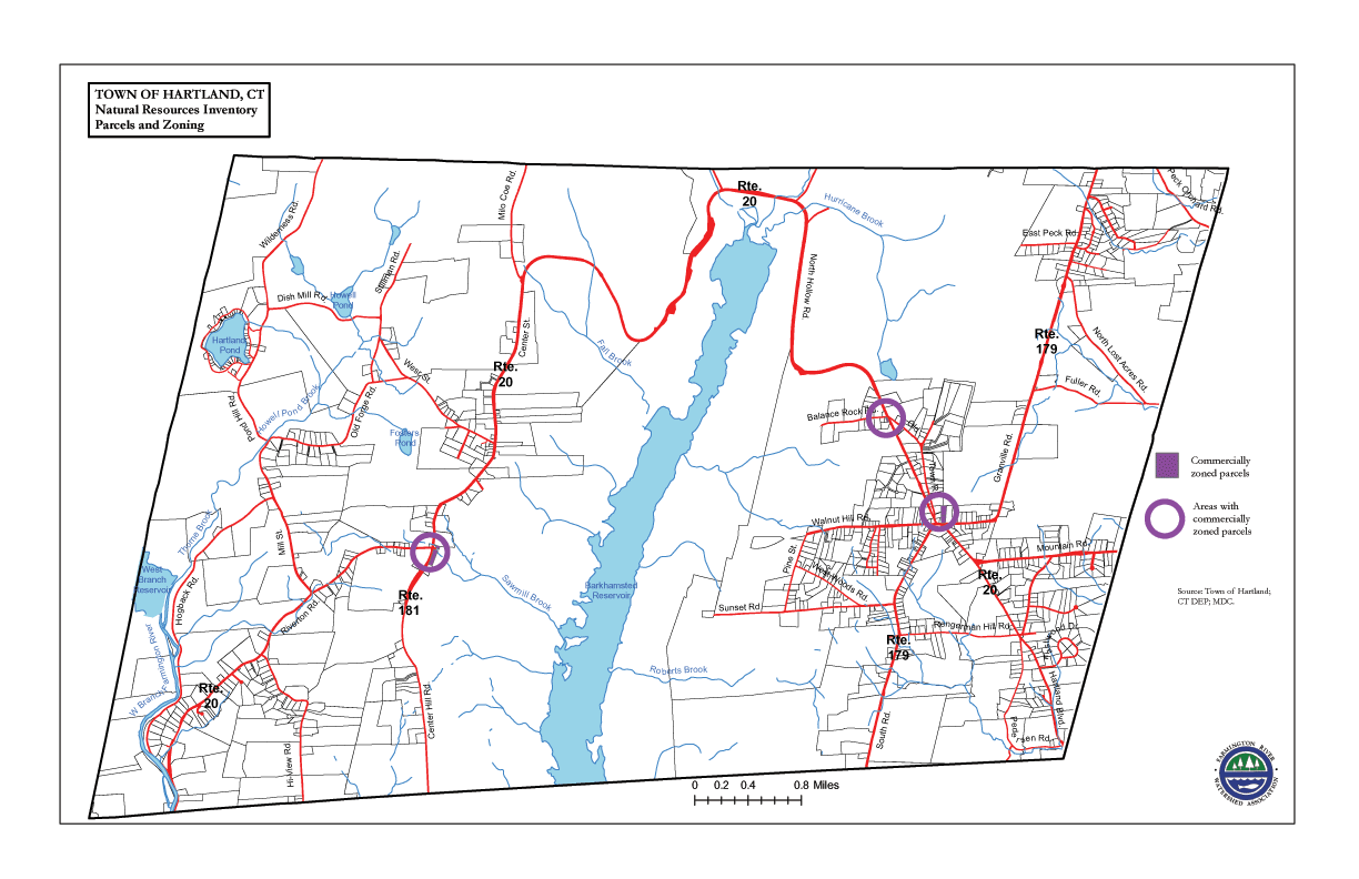
Parcel & Zoning
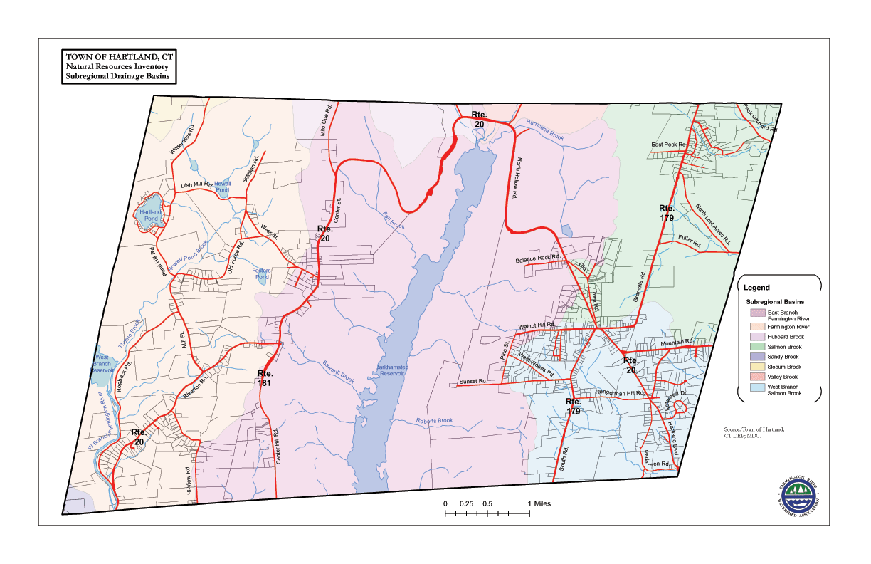
Subregional Drainage
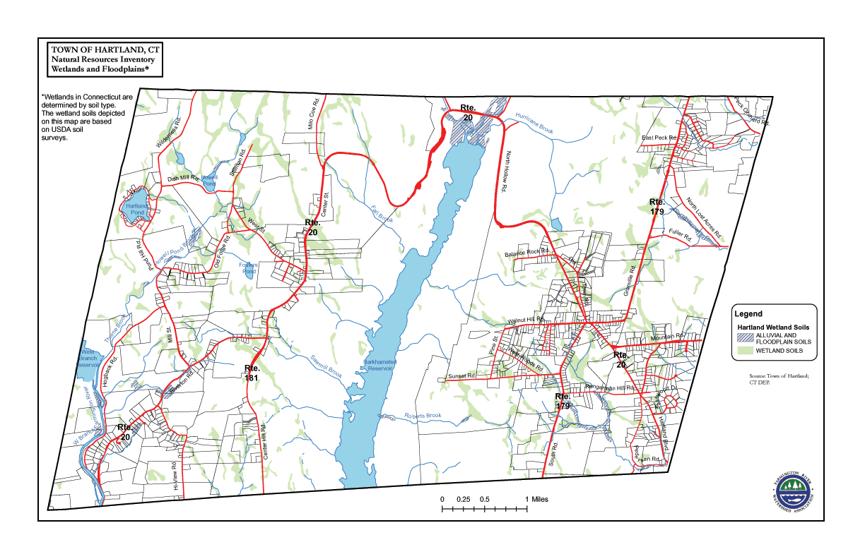
Wetlands & Floodlands
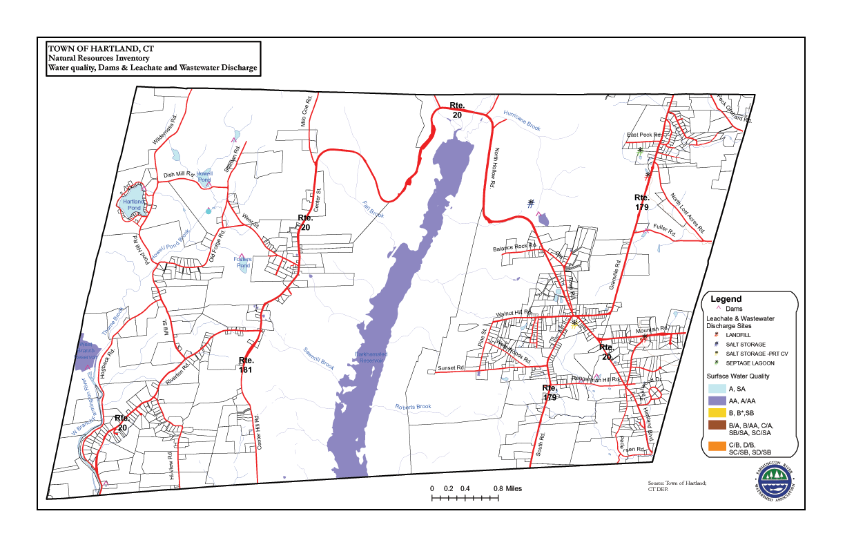
Water Quality & Discharge
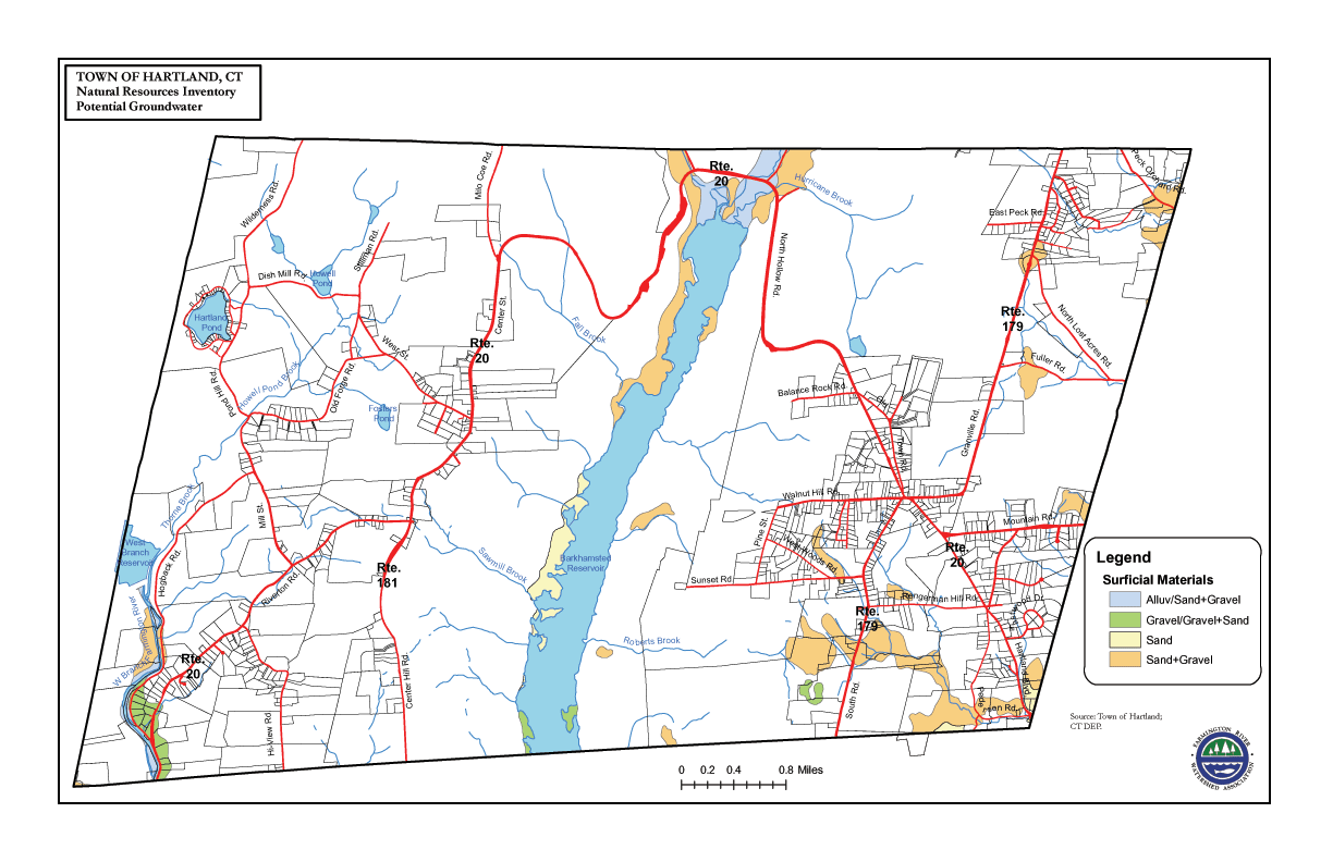
Potential Groundwater
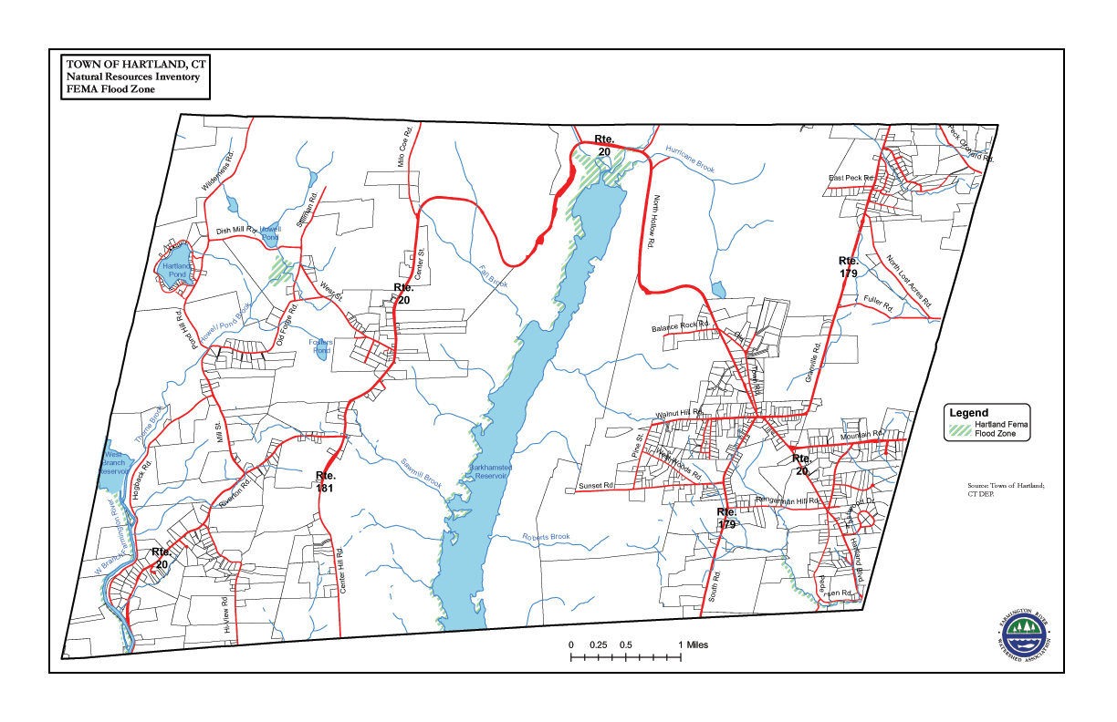
FEMA Flood Zone
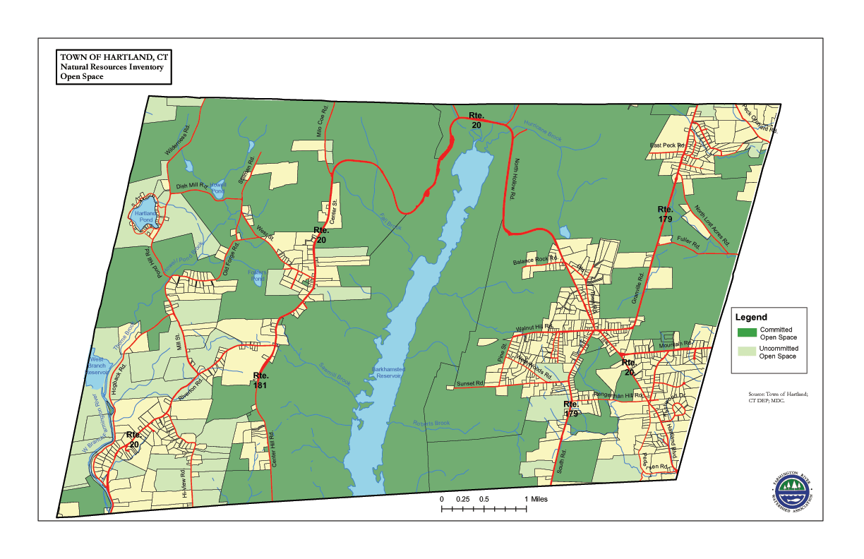
Open Space
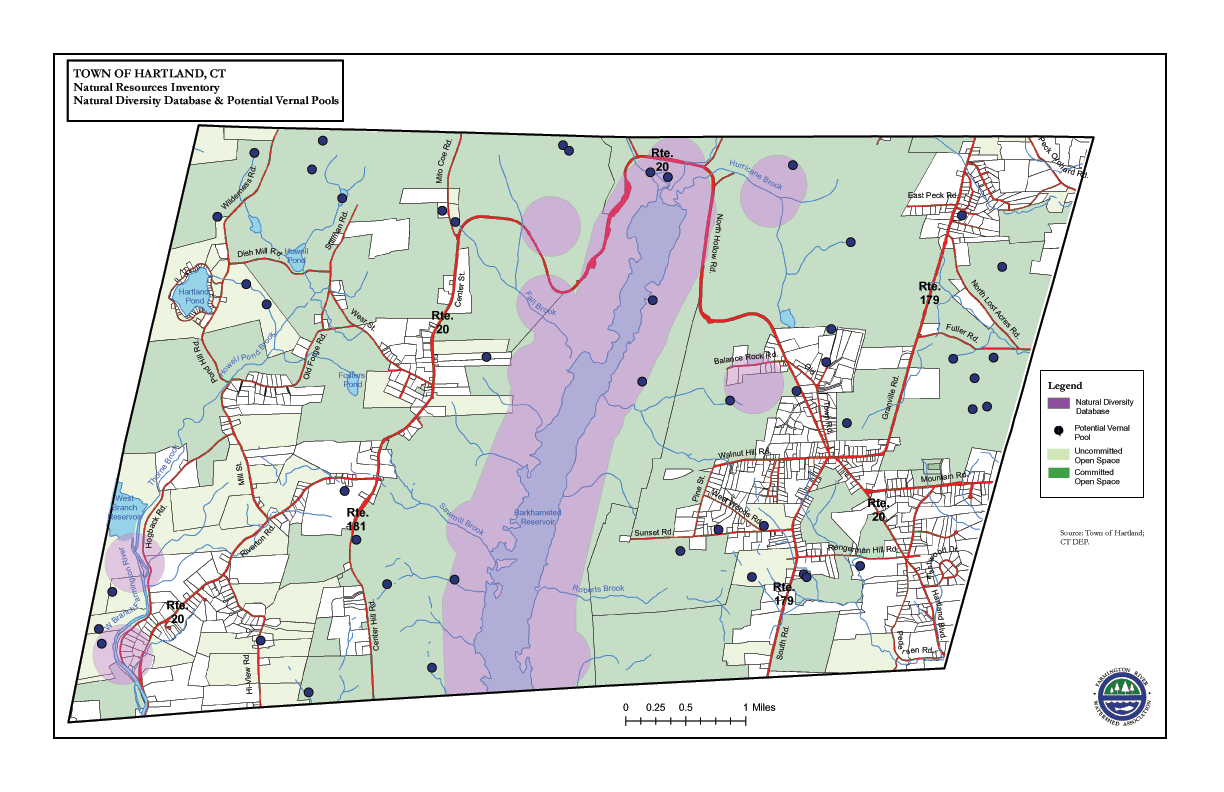
National Diversity Database and Potential Vernal Pools
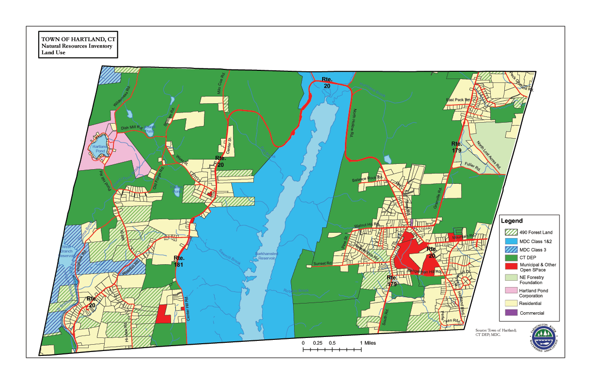
Land Use
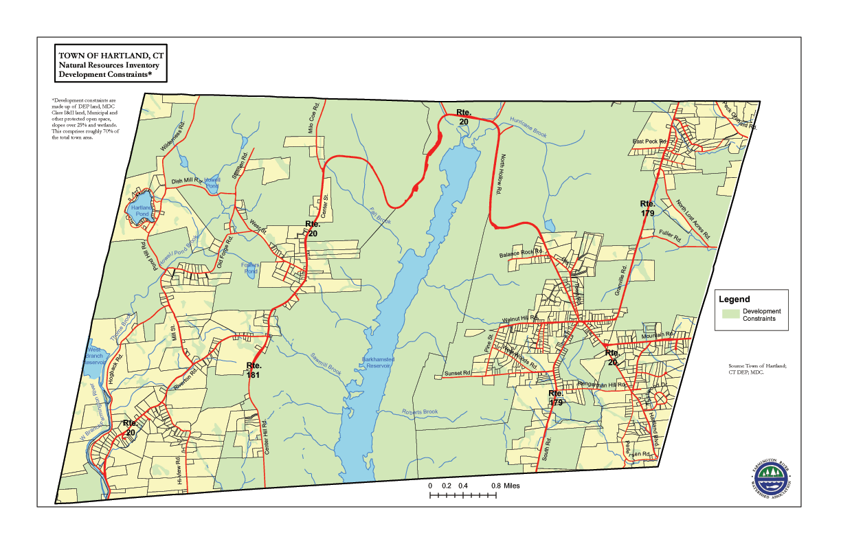
Development Constraints